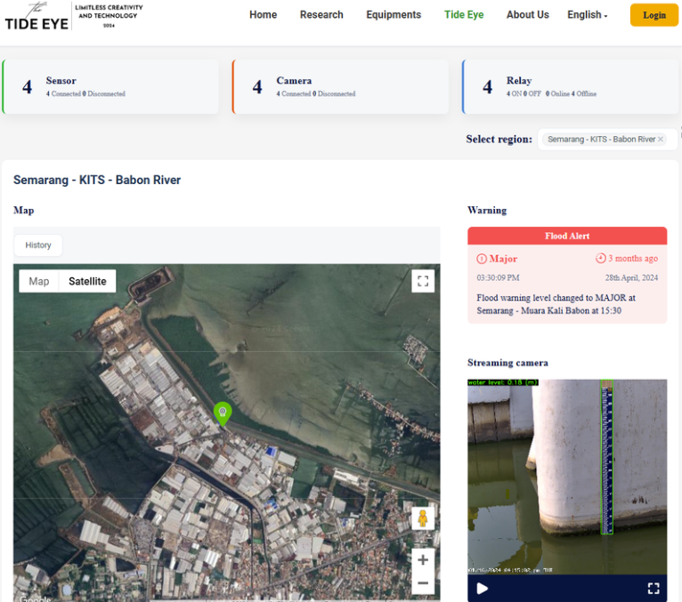
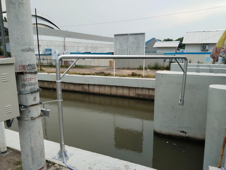
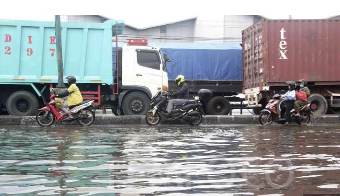
Flood Monitoring System
AI-Powered Revolution in

AI-Powered Revolution in
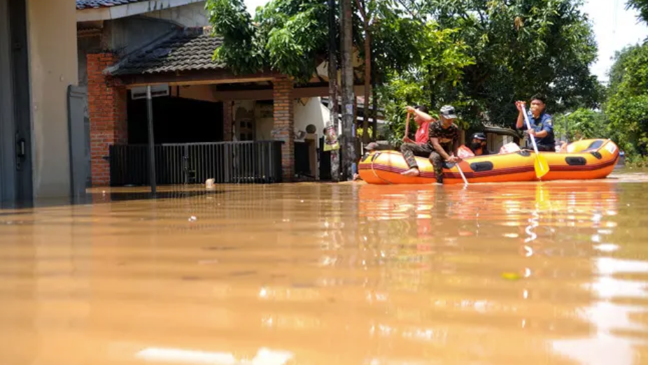
Tidal Flood Monitoring
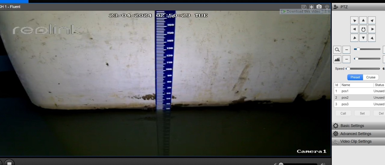
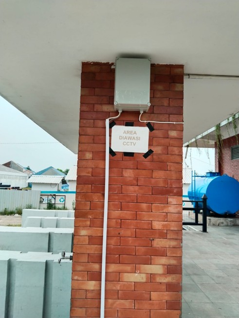
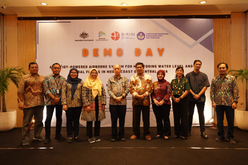
An AI/IoT-powered Airborne System for Monitoring Water Level and Tidal Floods in
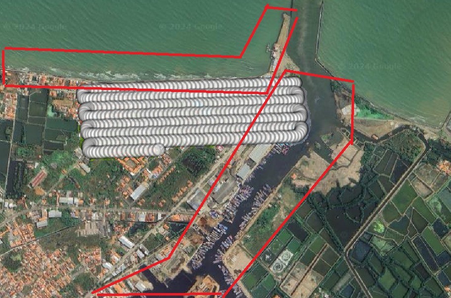
North Coast of Central Java